Residents urged to prepare as Burren River approaches record levels
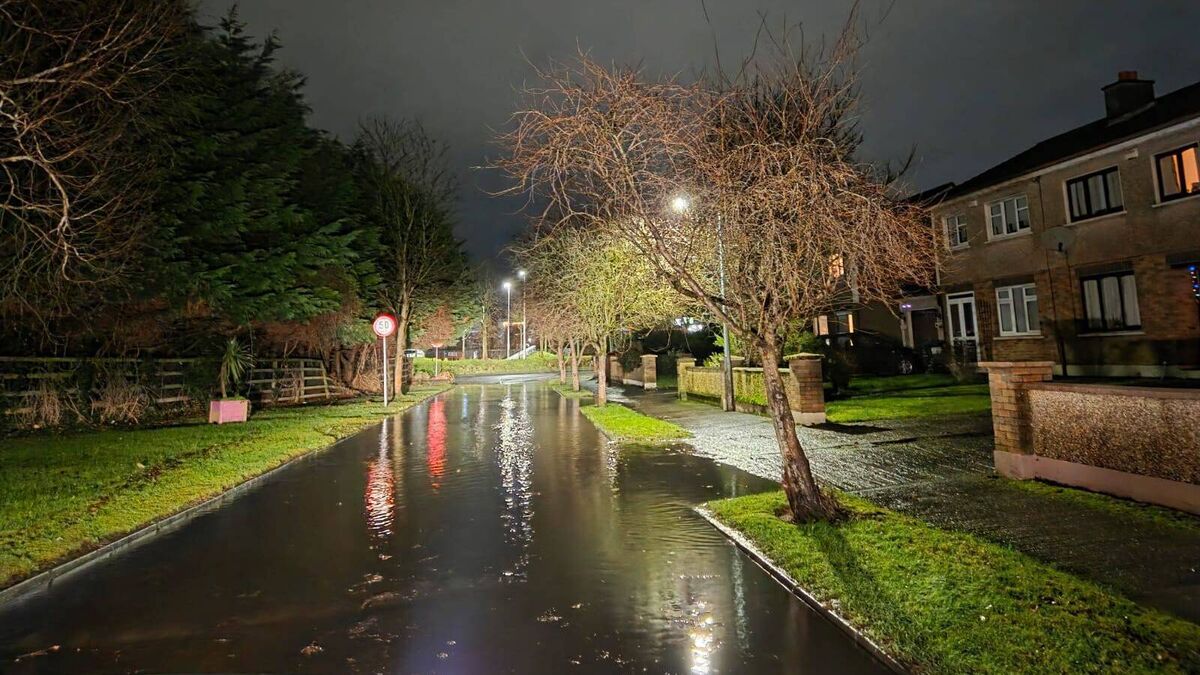
Local flooding. Image from Carlow County Council
CARLOW County Council issued a critical update this morning advising people living along low-lying parts of the River Burren to move valuable items to upper floors and be prepared as river levels approach record heights with more rain forecast.
The council confirmed that crews have been working through the night to protect homes in vulnerable areas of Carlow town through over-pumping operations. The authority remains on high alert for both the Rivers Burren and Barrow in Carlow Town.
"We are doing everything we can but we are now approaching record river levels and rising with more rain on the way," the council stated in its update.
Civil Defence are en route to help older and vulnerable people move upstairs if required, with the council adding: "If we need to mobilise volunteers we will."
In Tullow, crews continue over-pumping operations on the River Slaney and are prepared for another rise in levels today following last night's rainfall.
Monitoring of the River Derry in Clonegal continues, with additional sandbags provided in the village last night.
Road crews are responding to additional flooding, with two roads currently closed: Ballincarrig Road, Quinnagh, Carlow and the St. Mullins to Tinnahinch road.
The council has urged road users not to pass road closed or road flooded signs and not to drive into flood waters.

This is a hydrological monitoring chart from OPW (Office of Public Works) showing water levels at Ballinacarrig station on the River Barrow in County Carlow over the period 25-31 January 2026.
The chart shows a critical flooding situation. The water level started at approximately 1.45m on 25 January, rose sharply to peak around 2.05-2.06m between 28-29 January, dipped slightly around 30 January, then rose again to 2.148m by 31 January at 8am.
Crucially, this current level (2.148m) is approaching the highest flood on record of 2.160m, which occurred on 23 March 2013 - shown as the brown/gold line on the chart. The water level is well above the median flood level of 1.660m (shown in darker green).
This data supports the critical flood warnings issued by Carlow County Council in the previous images, explaining why they're on high alert and taking emergency measures.