Storm Éowyn: Public urged to stay home and keep phones charged
Vivienne Clarke and Michael Bolton
Keith Leonard, Chair of the National Emergency Coordination Group, has said critical infrastructure and essential services are now operating in "emergency mode".
"We met yesterday and we heard about the plans with local authorities standing up all their local coordination groups,” he told RTÉ radio's Morning Ireland.
"ESB and Irish Water have their crisis management teams and plans activated. So all critical infrastructure and essential services are operating now in emergency mode for the next 24 to 48 hours and we'll have a meeting again at 10am.
"The key advice for this storm, it is an extreme storm at the very upper end of the Atlantic storms we experience, for those times that red-level warnings are in place - shelter at home, shelter in place, do not move out and particularly, do not travel on the roads during that period.
"The other key piece of advice - make sure your mobile phone is charged and if you find yourself in a really difficult situation, dial 999. Even if your phone is not showing a service, it may pick up a service from another operator, so that's very important for the next 24 hours."
Mr Leonard said the clean-up operation once Storm Éowyn passes will be "major".
"It's really important to emphasise that when the warnings expire, the conditions that people are going to face, likely when they leave their homes and go out, are going to be quite extreme, particularly with the number of trees on the road.
"There'll be very significant disruption to road networks and to public transport. Local authorities and key infrastructure operators will be out quickly to try and deal with that, but it's going to be a major clean-up operation well into the weekend."
Mr Leonard said all education facilities and early childhood care centres will be closed.
"Where it is possible people should work from home and under no circumstances should people travel to work during the red weather warning period.
"The WRC has guidance on its website for those employees who will not be paid if they do not turn up for work. Flexibility is key", he said.
Meteorologist Gerry Murphy is urging the public to check the website www.met.ie for specific times for their local region for Storm Éowyn.
Mr Murphy told RTÉ radio's Morning Ireland that the level Red warning meant that all areas needed to take great care.
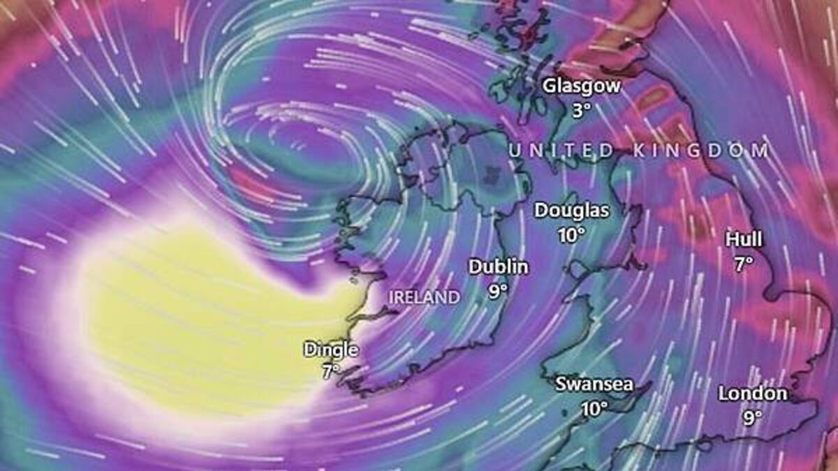
Storm Éowyn would be "primarily a wind event" with winds of up to 130 miles per hour predicted with heavy rain in some areas, particularly in the south of the country which could lead to localised flooding. There was also the possibility of sleet and snow on high ground, he added.
Gardaí are warning people affected by red warnings should stay indoors, avoid unnecessary travel and take action to protect themselves and their properties.
In a statement, they said: "An Garda Síochána and our colleagues in the other blue light emergency services will be on duty but depending on local weather conditions may not be in a position to respond to help during the height of Storm Éowyn, subject to dynamic risk assessments.
"Do not put yourself or members of the emergency services at risk during this period.
"Members of the Public should prepare today for Storm Éowyn. Please ensure that property, garden furniture and other loose material on your properties are secured.
"Today is the time to be a community, to check on isolated and vulnerable family, friends and neighbours. Please ensure that they are aware of and prepared for this storm event."
Simon Harris said there is an “extreme” risk to life during Storm Eowyn.
The Taoiseach said he had been briefed on the storm approaching Ireland from midnight.
“Storm Eowyn is dangerous, destructive and damaging,” he said.
“We cannot give a higher warning than nationwide red. The risk to life is extreme and real.
“You need to pay attention. Do not travel. Do not go near the sea.”
A Met Office spokesperson said peak rush hour wind speeds of 80-90 miles per hour are expected across Northern Ireland, with up to 100mph in some exposed locations.
“An extremely windy spell with disruption and potentially damaging winds tomorrow morning,” he told PA.
“It’s a big deep area of low pressure covering Northern Ireland hence the warning that covers Northern Ireland. Top wind speeds are expected on higher ground or exposed locations, potentially around coasts.”
The record for a gust in Northern Ireland is 124mph in Kilkeel in Co Down in January 1974.


