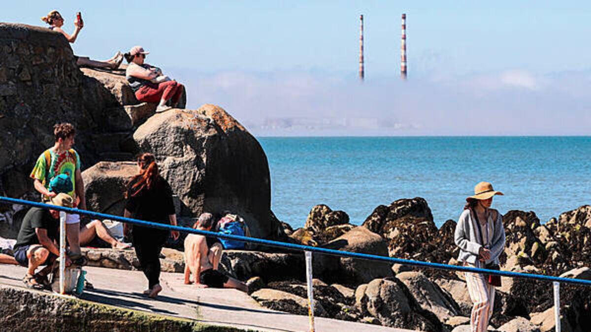
July 2025 was 9th hottest on record with highest temperature of 31 degrees
Kenneth Fox
July 2025 was the 9th hottest on record with the highest temperature recorded being 31 degrees.
It was reported on Saturday 12th, during a hot spell, at Mount Dillon, Co Roscommon.
Met Éireann said it was Mount Dillon’s 2nd highest maximum temperature on record, and the highest temperature recorded in Ireland since Friday 12th August 2022, when Oak Park, Co Carlow reported 31.7 degrees (the highest August daily maximum temperature on record for Ireland).
Two other stations also surpassed 30 degrees on Saturday 12th during the hot spell in July.
These were Oak Park, Co Carlow with 30.2 degrees and Shannon Airport, Co Clare with 30.6 degrees, while Mullingar, Co Westmeath reached 30.0 degrees.
Two stations recorded their highest July maximum temperatures on record, also on Saturday 12th.
These were Malin Head, Co Donegal with 27.6 degrees and Knock Airport, Co Mayo with 28.7 degrees while Finner, Co Donegal with 29.6 degrees saw its highest maximum temperature on record for any month.
As well as being the 9th warmest July on record it was also the warmest of any month in 126 years of records for Ireland, with all stations recording mean temperatures above their long-term averages.
Of the top ten warmest July’s, five have occurred since 2001 (2013, 2006, 2021, 2025, 2018).
Met Éireann said a build-up of the Azores High over Ireland resulted in plenty of sunshine and a hot spell from July 10th to Sunday 13th, in which temperatures surpassed 27 degrees each day.

Rainfall was unevenly distributed across the country during the month, with levels well above average in parts of the East and West, and well below average in parts of the South and north Midlands.
Continuing the recent warmer-than-normal monthly trend, this is the 5th consecutive month with temperatures in the respective top 9 averages on record in 126 years of records.
July 2025 observed an average of 96.0 mm rainfall, which is slightly above average at 103 per cent of the 1991-2020 LTA, the wettest July since 2023 and 33rd wettest overall since 1941.
July 2025 was warm with close to average rainfall overall. High pressure to the south and low pressure to the north brought a predominantly westerly airflow.
The first week began relatively cool with high pressure to the south in control. By mid-week, a low-pressure system to the north brought frontal rain and introduced a warmer airmass across the country.
Toward the end of the week, high pressure in the southwest began to build northward once again.
The second week saw the Azores high building north over the country bringing lots of sunshine and increasing temperatures.
A thundery breakdown followed late on Sunday 13th and through the day on Monday 14th as low pressure began to push in from the Atlantic.
The third week saw slow-moving low-pressure systems meandering close to or over Ireland with frontal rain and/or heavy thundery downpours affecting different parts of the country each day.
An active weather front stalled over the eastern half of the country Monday 21st bringing a prolonged spell of heavy rainfall to parts of the East.
The fourth week was drier as high pressure built to the south again. Low pressure to the north continued to steer weak weather fronts across the country at times in a westerly airflow.
This setup, which continued to the end of the month, brought cloudy misty periods with light rain at times, especially for the West, interspersed with drier and brighter periods, especially for the Midlands and East.


